Trails and waterways
Waterways
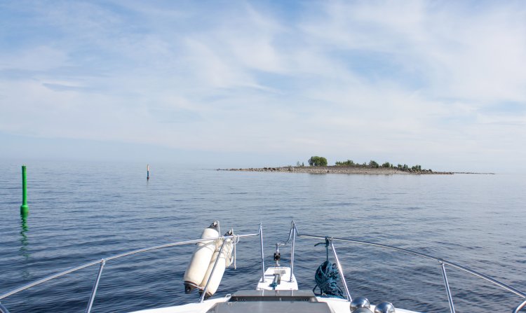
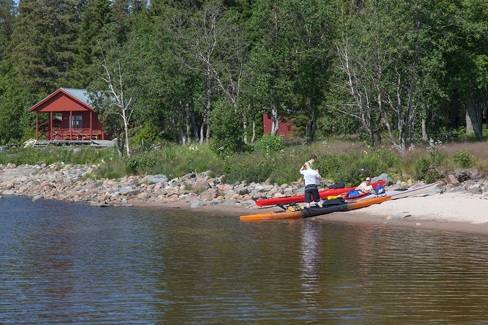
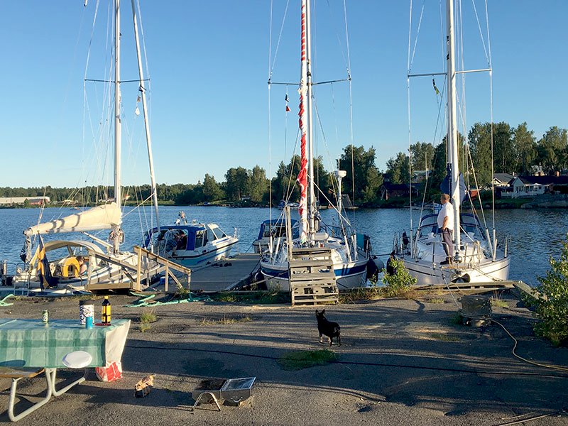
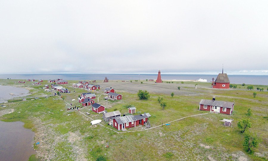
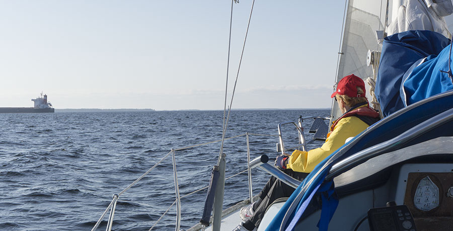
The old inshore waterway runs from Bjuröklubb in the south to Haparanda in the north, and then continues on to Finland. In the old days this waterway was used by small merchant ships. These days the waterway is used exclusively by leisure boats.
As their tonnage gradually increased, merchant ships began using waterways that go directly from open sea and into the larger harbours.
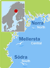
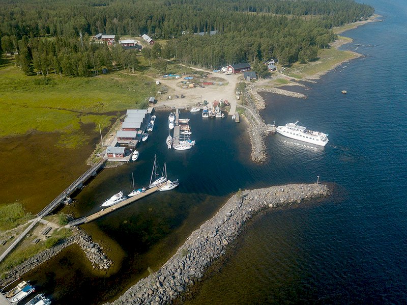
In order to reach certain locations it is necessary to sail along the connecting waterways. The map to the right shows a rough approximation of how the waterways run. Nautical charts should be used for navigation purposes. Under the “Places to visit” heading you will find information about guest harbours and other interesting places.
For more information please contact the relevant tourist centre.
Snowmobile trails
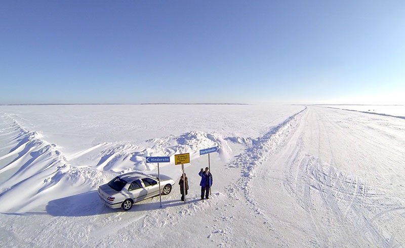
A snowmobile trail runs from Lövånger in the south to Haparanda in the north. This trail passes the larger towns in the coastal region of the Bay of Bothnia. Because the condition of the ice can be uncertain at the mouths of the larger rivers, the trail goes on land from time to time. North of Skellefteå there is a military shooting range, which means that travelling on the ice is not possible in that area.
Please note - you travel on sea ice at your own risk.
There are a number of connecting trails that lead to interesting places to visit. Some of these connecting trails are marked. Some of the “places to visit” are open during the wintertime.
The map to the right shows a rough approximation of the main trail and the connecting trails. Maps and nautical charts should be used for navigation purposes. Please remember - the ice is often thin at shallow locations, which is why it is necessary to have a nautical chart that clearly shows such areas.
From the beginning of 2012 you will be able to download the trail to GPS from this website.
For more information please contact the relevant tourist centre.