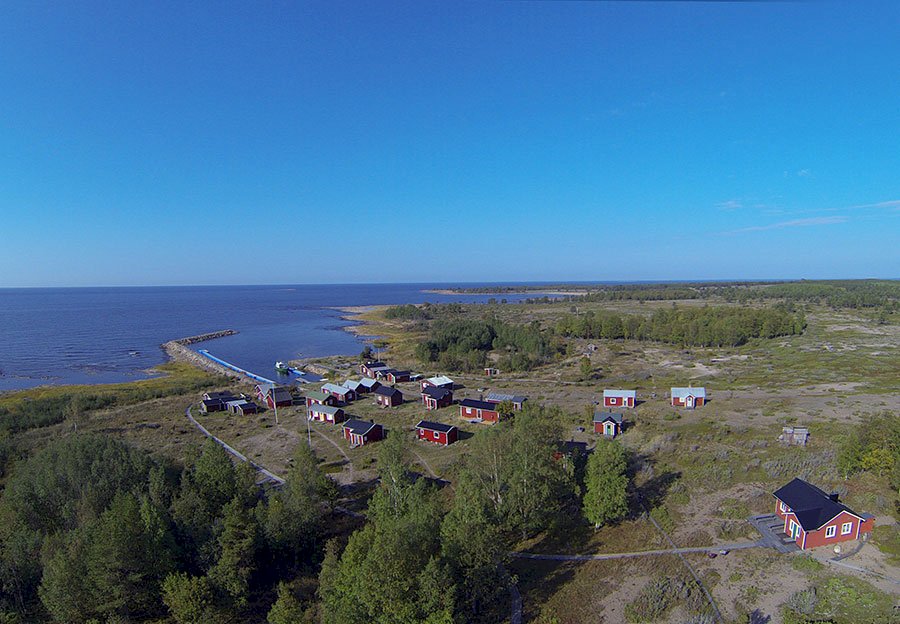
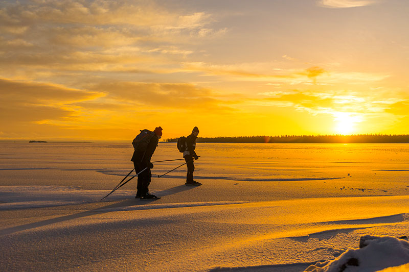
Malören, Kalix (North)
Malören is the Norrbotten coast’s outermost skerry, from which the mainland can just be seen in clear weather. The first things you see as you approach the island are the silhouettes of the island’s cultural monuments, the lighthouse and the beautiful chapel.
Facts
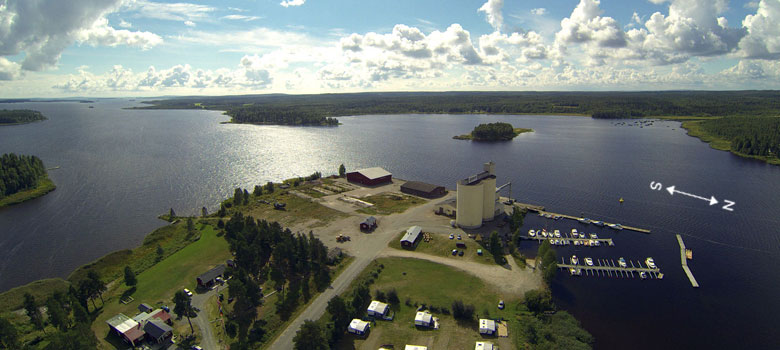
Excursion harbour/ nature reserve
Nautical chart 411, harbour depth: 1.2 m
Outhouse toilet, sauna, barbeque area and attractions
![]()
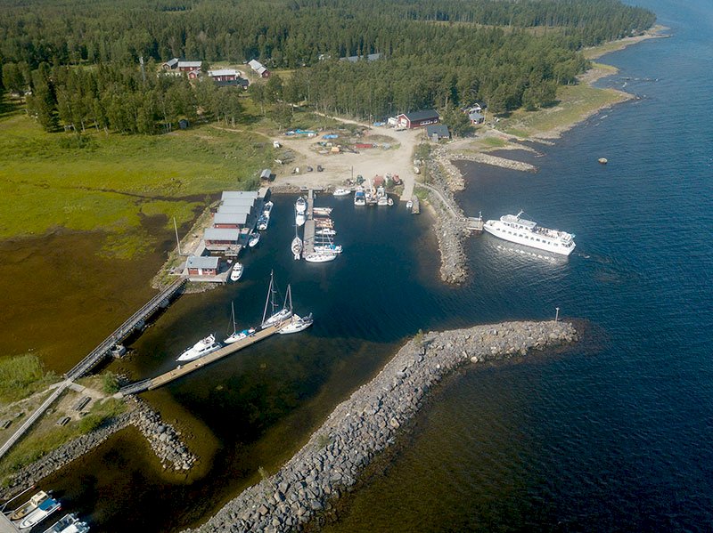
This harbour can be accessed at its easterly breakwater in a calm sea by boats with a draft up to 2 m, although this can change due to the on-going deposition of sediment on the sea floor. These days, other parts of the harbour are totally filled with rocks and sand that have been brought in with the tide.

It is recommended to approach the southern harbour if you have a boat with a draft of no more than 1.2 m.
Approach the entrance to the harbour from the southwest, on the leading line in line with the church and the most eastern cabin, as well as the leading line markers according to the sketch map. The leading line markers are equipped with lights, on the outer leading line with white light and on the inner leading line with red light. The depth of the water within the marked area is 1.2 m at average tide. Although the harbour appears to be relatively open, it does provide good shelter from the wind, even when a southerly gale is blowing.
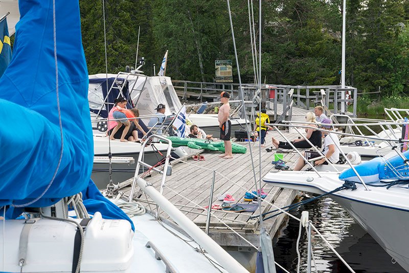
However, it is not possible to leave or enter the harbour in very strong southerly/south-westerly winds, since the waves in the harbour entrance during such winds make it impossible to manoeuver. Thanks to the efforts of the old Swedish “Domänverket” (these days known as “Sveaskog”) in the middle of the 1970s, the old wooden jetty has undergone an extensive renovation, much to the delight of boaters.
History
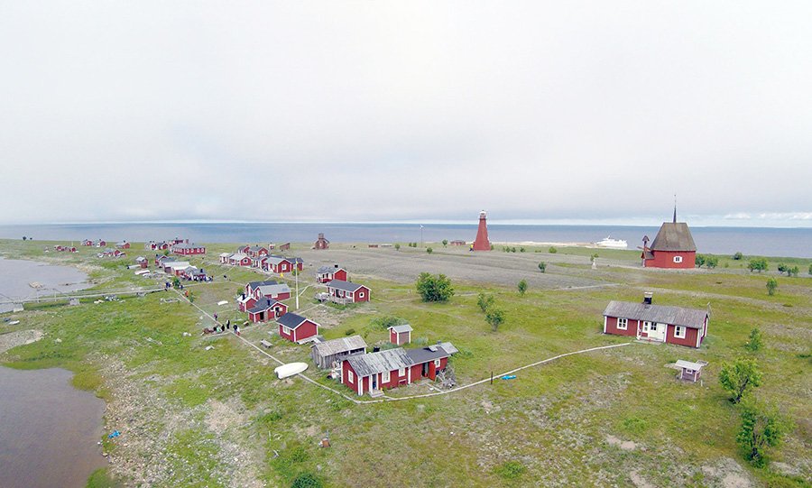
The fishing village on the island has been extremely important for Swedish and Finnish fishermen. The last time the island was populated was in the 17th century, when fishermen were attracted to the island by the plentiful supply of herring. The island’s heyday was during the second half of the 18th century, when the herring fishing was particularly productive. A tenth of all the fish caught was given to the priest in Torneå. The fishermen came from Torneå as well as from Karlö in Ostrobothnia. Both those communities had their own "village" on the island, and up to 200 persons could be found living on the island during the summertime. As the 18th century arrived, the Torneå townsfolk’s real estate records often made mention of “very old fishing villages” on Malören. During that time, Malören became so economically important and achieved such status that the magistrate of the town of Torneå decided that a church should be built on the island.
The chapel from 1768 is sometimes called "Skärgårdens domkyrka" (“the Cathedral of the Islands”) due to the fact that it has a cathedral spire on its roof. The building is octagonal in shape with a shingle-clad roof, a type of church construction that was very popular around the Bay of Bothnia during the 18th century. For a long time the church was the building on the island that served as a navigational marker for seafarers.
Thanks to its location as the Bay of Bothnia’s hub, Malören has been the natural stop for ships on their way to the harbours to the north. There have been navigational markers on the island for hundreds of years, and in the middle of the 19th century the renowned lighthouse designer Gustaf von Heidenstam was given the task of designing a lighthouse for Malören. Heidenstam visited Malören in 1850, and a year later the construction of the lighthouse and the lighthouse keeper’s dwelling was in full swing.
Today there are fifteen cabins left on the island, and they are lovingly maintained by their owners. The character of the fishing village has been kept intact through the years. The pilots’ cabin was renovated in 1994 and now serves as a hostel. Boating tourists can also rent the sauna. The fact that Malören was once home to a booming business is evidenced by the remnants that can be found on the island. A seaman’s grave from 1935 reminds us of the captain who died here when his ship capsized in a violent storm. There is also a labyrinth, a shipwreck, and the remnants of a navigation marker that was erected in 1725. It was a simple pole marker on the island’s south-eastern point, which was rebuilt into a beacon ten years later.
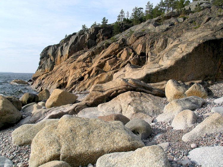
Malören also has an interesting birdlife, and the Arctic tern is found here, along with several varieties of gull, among them the black-legged kittiwake and the black-headed gull. Despite the exposed location of the island, its vegetation spreads out further and further for every year that passes, although large areas of the island are still dominated by rocks that have been washed clean by the sea. The purple beach pea that, together with the lyme grass, binds the sand down to the beaches is characteristic of the outermost islands in the Bay of Bothnia.
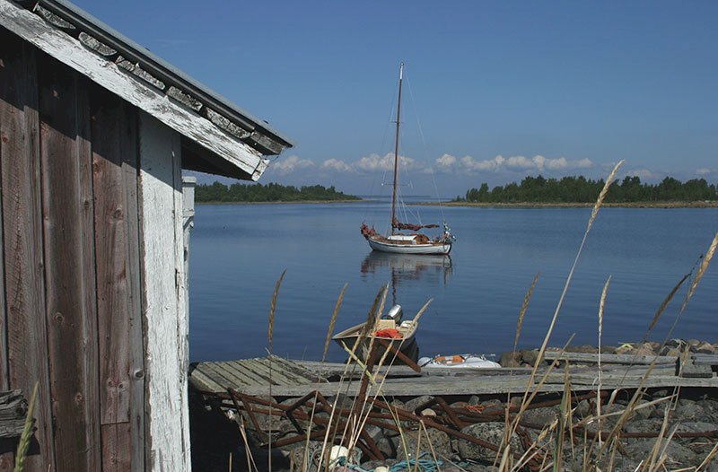
During the 18th and 19th centuries there were no quays, and the boats would instead be dragged up onto land or lay anchored off the shore. Problems quickly arose in the waterways leading in and out of the island when strong, southerly winds started to blow. In order to solve these problems and to be able to provide ships with pilots, rails were laid from the southern to the northern side of the island. In this way the pilot boat could be transported by wagon and put to sea to leeward. The rails no longer remain on the island. In 1929 the island’s first quay was built, which these days is most evidenced by the remains of its caissons. The land elevation and the increasing size of the pilot boats led to the construction of a new harbour during the 1950s. The new concrete harbour took four years to build, but then had to be abandoned not much later in 1967, as the forces of nature threatened to turn the harbour into a headland.