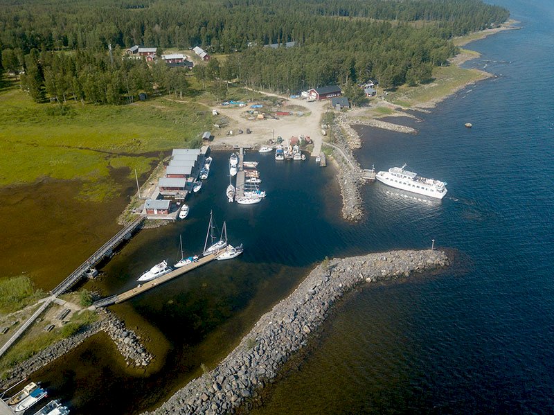
The Hindersön Trail, Luleå
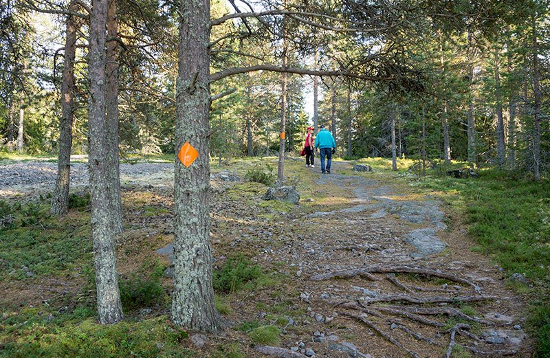
The degree of difficulty is indicated by the various colour codes. Please note – certain stretches along a trail can contain different degrees of difficulty.
- Black – difficult and strenuous:
terrain with large rocks, fords, dense forest - Red – medium difficulty:
shingle beaches - Blue - normal:
mixture of undulating paths and light forest terrain - Yellow – very easy:
roads or easy-to-walk paths
The stretch from Jopikgården to the peninsula opposite Strömmingsören is approx. 3.7 km long, while it is approx. 5.8 km from the peninsula opposite Strömmingsören and around Gemgrundet back to Jopikgården. The total distance is approx. 9.5 km.
Follow the directions on pages 21 – 23 of the booklet “The island trails, hiking among the islands of Luleå” for a description of the trail to the peninsula opposite Strömmingsören.
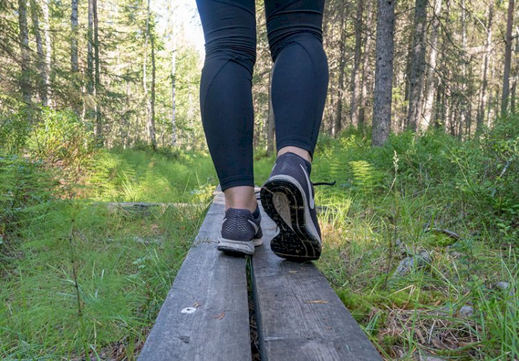
Follow the shore along the alder belt. It can be quite wet at high tide or if it has been raining. Avoid entering the forest, since it is dense and difficult to pass. In normal circumstances it is quite easy to walk along the shore.
When the forest veers off to the left and you see a lake in the distance – proceed straight ahead to a small ridge and follow it at an angle to the left. You will soon arrive at two lakes with a small creek in between – it is now but a few metres from the ridge to the forest on the other side of the creek. Follow the shore meadow to the right along the alder belt. It can get a bit wet in the middle of the forest. Continue to follow the shore meadow along the edge of the forest and enter the forest to the left of the cabin – keep going until you reach the power line. Follow the power line to the next cabin – here you will find a lovely old wooden boat that someone has left far up on land. Veer off to the left through the forest behind the cabin and down to the shore.
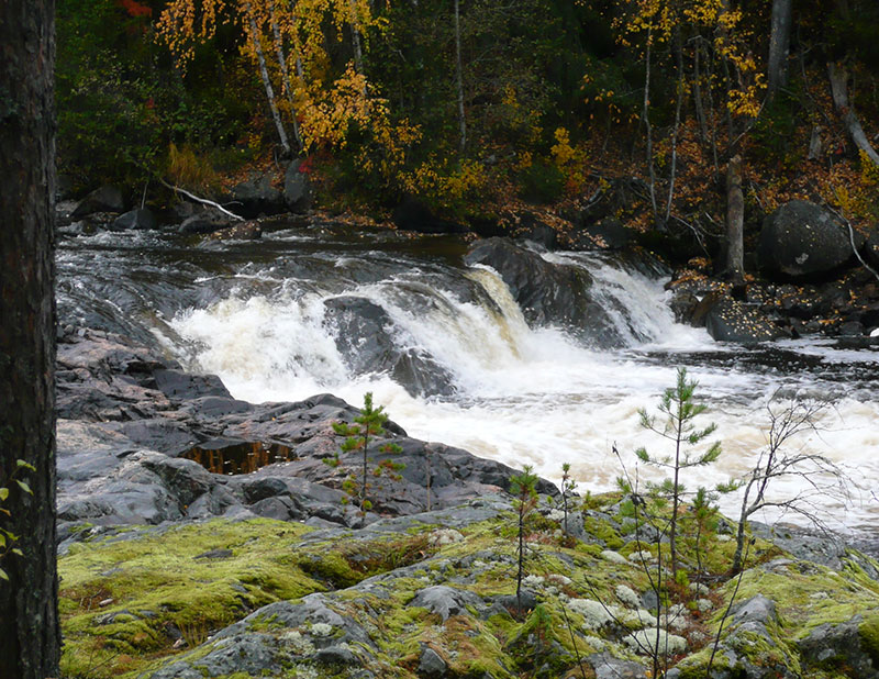
Follow the shingle beach. If you pay attention you may find the local endemic variety of eyebright along the beach. This variety of eyebright is only found along beaches in the northern part of the Bay of Bothnia and nowhere else in the entire world! But keep your eyes peeled, because the flower is so small that you can barely see it.
Pass the cabin by going up into the forest a bit from the beach.
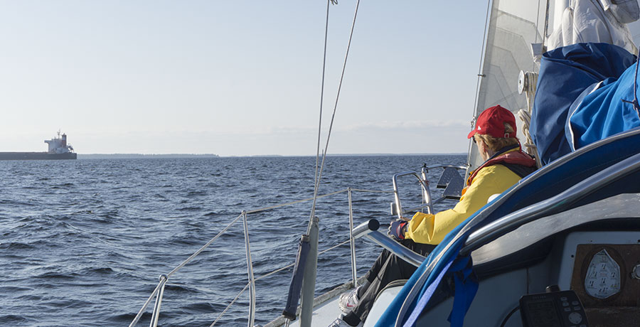
At the very north of the peninsula – the part of Björkön that is called Gemgrundet - you will find a number of moist beach meadows. Here you will also find round outcrops that have been smoothed by the inland ice, and Arctic raspberry grows in the crevices. The trail is very narrow between the forest and the water here, and it is also here that you pass the two markers that indicate one of the leading lines in the waterway on the northern side of Hindersön.
Pass behind the cabin and continue past the sandy beach at the head of the bay. Straight after you have passed the sandy beach you will see the markers that indicate the next leading line to the left a wee way up in the forest.
Continue along the beach and you will reach several more cabins after a short while. The trail forks when you come to the leading line marker that belongs to the part of the waterway that leads into Norrisund from the west. Take the left trail that leads down to the settlement in Norrisund. Now you can follow the road back to Jopikgården
The Jopikgården Trail – The Jopikgården Mine
The degree of difficulty is indicated by the various colour codes. Please note – certain stretches along a trail can contain different degrees of difficulty.
From Jopikgården – follow the path to Ostisund where there is a rowing point from which one crosses over to the other side of the strait. Follow the road to the school and turn to the right along the road. In the middle of the village you will find Sweden’s northernmost island agricultural business. Keep following the road until you reach the telecom mast, turn to the left and continue past the farms. Straight after you have passed the edge of the forest there is a path that heads to the right – follow that path to the mine. You take the same route back again, except for the fact that you can follow the road instead of using the rowing point at Ostisund.
The mine is well worth seeing: the old shafts, the railway embankment, the memorial stones and the lime kiln. There is also a rest area (cabin) and a toilet here.
Avoid walking along the beaches on your way back, because the forest is very dense and extremely difficult to pass.